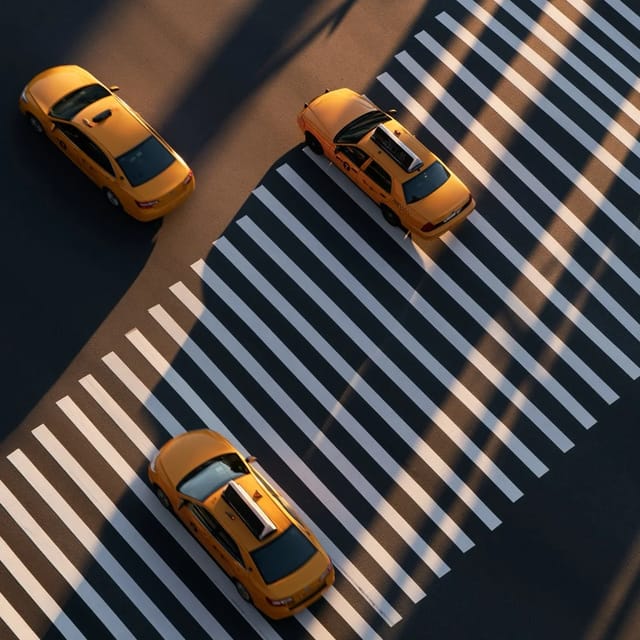
aerial view
Subject
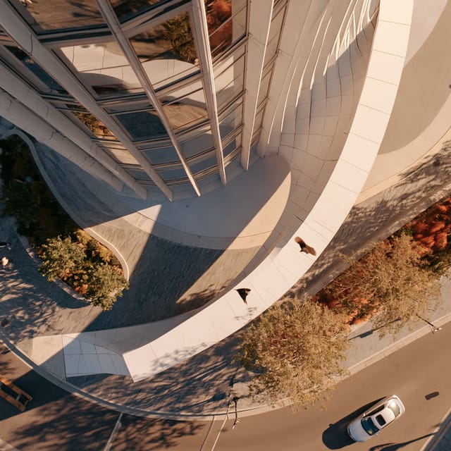
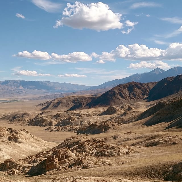
Aerial view is a shot taken from high above the ground looking down, so streets, fields and rooftops read as a map-like pattern you could trace.
Angle is the real choice. A straight-down (nadir) frame flattens the world into a map — pattern and shadow do all the work. A tilted 45° version keeps walls visible and feels like flying, not surveying.
Best subjects carry a strong outline or a repeating pattern: farm fields, stadiums, roundabouts.
At true top-down, side light is your only depth cue — a low sun throws long shadows that give height back to flat rooftops.
Not to be confused with a drone shot — a drone can hover at head height; an aerial view needs the height.
Oct 4, 2026
Made with aerial view
Nothing yet — be the first.